Welcome, Kapamilya! We use cookies to improve your browsing experience. Continuing to use this site means you agree to our use of cookies. Tell me more!
More rain expected in parts of PH as 'Ester' slows down
ABS-CBN News
Published Jul 30, 2022 07:24 PM PHT
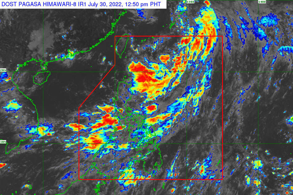
PAGASA photo shows the location of Tropical Depression Ester at 4:40 p.m. Saturday.
MANILA - Tropical Depression Ester will continue to bring rains to parts of Luzon and Visayas, including Metro Manila, as it slows down over the Philippine Sea, state weather bureau PAGASA said Saturday afternoon.
The tropical depression, along with Tropical Storm Songda currently outside of the Philippine Area of Responsibility (PAR), has triggered rains in many parts of the country.
Ester was last spotted 575 kilometers east of Itbayat, Batanes.
It is packing maximum sustained winds of 45 kilometers per hour and gustiness of over 55 kilometers per hour.
ADVERTISEMENT
The tropical cyclone is expected to exit the (PAR) Sunday afternoon, with the possibility of and fall over the Ryukyu islands.
It is also expected to remain as a tropical depression in the next 36 hours, with no storm signals hoisted.
However, PAGASA warned of moderate to rough seas reaching over the northern and eastern seaboards.
"These conditions may be risky for those using small seacrafts. Mariners are advised to take precautionary measures when venturing out to sea and, if possible, avoid navigating in these conditions," PAGASA said.
ABS-CBN is the leading media and entertainment company in the Philippines, offering quality content across TV, radio, digital, and film. Committed to public service and promoting Filipino values, ABS-CBN continues to inspire and connect audiences worldwide.
Our website is made possible by displaying online
advertisements to our visitors. Please consider supporting
us by disabling your ad blocker on our website.
Our website is made possible by displaying online
advertisements to our visitors. Please consider supporting
us by disabling your ad blocker on our website.