Welcome, Kapamilya! We use cookies to improve your browsing experience. Continuing to use this site means you agree to our use of cookies. Tell me more!
Mawar to approach Japan's Okinawa Prefecture this week
Kyodo News
Published May 29, 2023 02:17 PM PHT
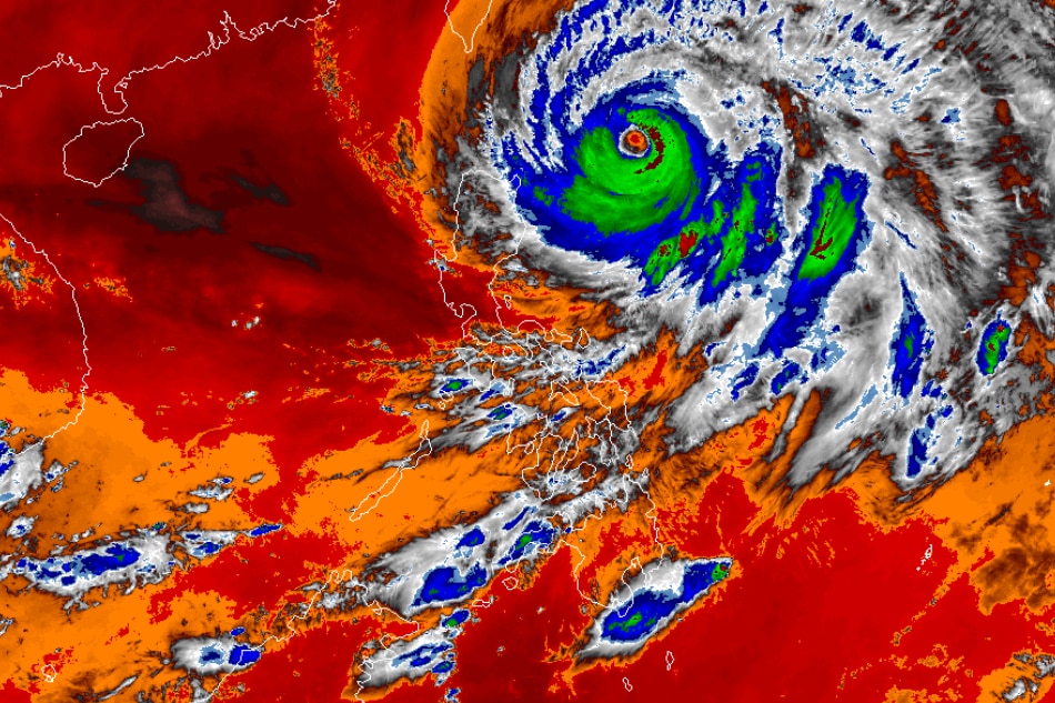
Typhoon Mawar nears the Philippines. Imagery courtesy of the Japanese Meteorological Agency
TOKYO - Powerful Typhoon Mawar is forecast to approach the southwestern part of Japan's Okinawa Prefecture later this week, with the country's weather agency warning of high tides and violent winds in the Sakishima Islands from Monday.
The typhoon was moving northwest from the east of the Philippines at around 10 kilometers per hour as of 9 a.m. on Monday, according to the Japan Meteorological Agency.
ABS-CBN is the leading media and entertainment company in the Philippines, offering quality content across TV, radio, digital, and film. Committed to public service and promoting Filipino values, ABS-CBN continues to inspire and connect audiences worldwide.
Our website is made possible by displaying online
advertisements to our visitors. Please consider supporting
us by disabling your ad blocker on our website.
Our website is made possible by displaying online
advertisements to our visitors. Please consider supporting
us by disabling your ad blocker on our website.